Winnipesaukee can feel like several lakes connected by decisions. Meredith Bay is social and busy, Wolfeboro feels like a village harbor, and the island field between them turns a straight-line plan into a route that rewards attention. The lake is accessible enough for a first family boating vacation, but granite, traffic and fast weather changes make preparation visible very quickly.
From Indigenous place to vacation lake
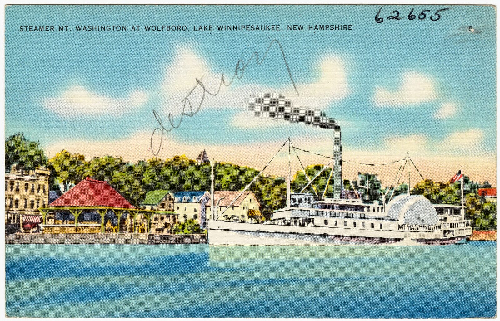
The name Winnipesaukee is commonly associated with the Abenaki language and the lake’s longstanding importance to Indigenous communities. Nineteenth-century rail and steamboat travel transformed the region into a resort destination. The M/S Mount Washington continues that passenger-vessel tradition, and its schedule still matters to small-boat traffic around major ports.
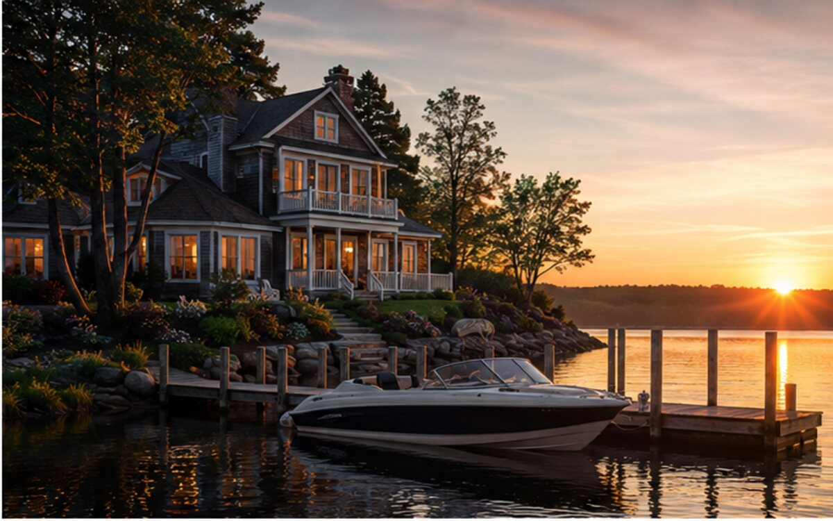
Summer cottages, island homes and town docks now define much of the shoreline. The lake’s popularity is not an accident: mountain views, numerous islands and several useful towns create a complete vacation. History also explains why some waterfronts are intensely public while the next cove is almost entirely private.
Meredith, Wolfeboro or another base?
Meredith offers lodging, restaurants, rentals and a lively harbor at the northwest end. It is convenient and congested at peak time. Wolfeboro, calling itself America’s oldest summer resort, provides a more intimate village harbor on the eastern side. Alton Bay serves the southern lake, while Gilford and the Weirs area place a crew near entertainment and broad services.
Choose based on the intended water. A Meredith slip is not automatically ideal for a family whose plans center on Wolfeboro and eastern coves. Ask about overnight exposure, parking, launch access, shore power and the marina’s response when wind blows directly into the basin.
Launch-day discipline
Prepare away from the ramp. New Hampshire’s invasive-species program makes clean, drained equipment important, and local launch parking can be competitive. Confirm boating-certificate requirements, no-wake areas and the lake’s speed rules before arrival. The state publishes restricted-body information, including distance and speed provisions that affect operation near shore, docks, swimmers and other boats.
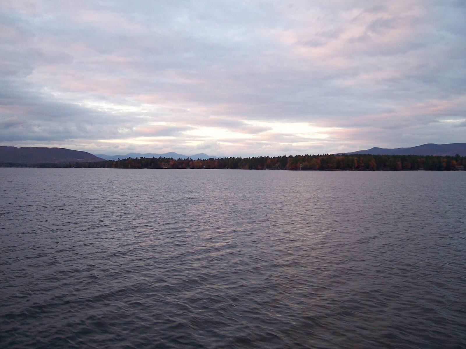
After launch, idle into clear water and verify cooling, steering, bilge and navigation electronics. Set the chart scale to show nearby hazards rather than an impressive overview of the entire lake. A boat can be on the correct lake and the wrong side of a shoal at the same time.
Town docks, marinas and fuel
Meredith, Wolfeboro and other towns provide public access, but dock limits, hours and rules vary. Peak-summer turnover can be intense. Approach at idle, have lines ready and do not block the fairway while waiting for a space. If a town dock is full, use the backup plan rather than creating a slow-moving queue in traffic.
Fuel is available around the lake, yet not necessarily where a low tank becomes convenient. Call ahead, especially in spring or fall. A full day among islands involves more acceleration and course changes than a simple mileage estimate suggests. Waterborne fuel costs more; the real premium buys the ability to continue safely.
Islands, coves and anchoring
Winnipesaukee’s island groups create attractive lunch water and constant navigation choices. Anchor only where depth, bottom and regulations permit. Leave room for swing and wakes, and avoid crowding a popular raft-up simply because the social scene looks established. Areas such as Braun Bay can have specific rafting or operational rules; confirm them rather than repeating what another boat says over the gunwale.
For swimming, use a visible float where appropriate, keep an adult on watch and test the ladder. Granite shelves can produce shallow water farther from shore than expected. Never use a chart’s blue-water appearance as a substitute for depth awareness.
A route that works for a first weekend
From Meredith, an early run toward Center Harbor and selected island passages teaches the lake without requiring a complete east-west crossing. From Wolfeboro, a route toward the central islands provides the corresponding perspective. Pick one town dock or lunch hook as the primary objective, then return by a charted alternate only if the crew remains comfortable.
The temptation is to circle enough landmarks to claim the lake. Resist it. Blind corners, oncoming traffic and repeated wake encounters make mileage tiring. A successful day includes time with the engine off and finishes before the captain’s attention is depleted.
Weather and wake conditions
Mountain and lake weather can change quickly. Afternoon thunderstorms, gust fronts and wind running across broader reaches create a more serious surface than a sheltered dock suggests. Watch the sky and weather radar, but also watch flags, smoke, darker water and the behavior of experienced boats returning to port.
Summer traffic creates its own weather. Intersecting wakes near the Weirs, town approaches and narrow passages can be harder on a small boat than a steady wind wave. Slow before the encounter, keep passengers seated and avoid sharp turns that place a wake on the beam. If the crew is repeatedly being thrown against cushions, shorten the route.
Navigation hazards and traffic
Granite ledges, shoals and narrow passages make a current lake chart essential. Follow markers, understand the state’s buoy system and do not trail a local boat through a route you have not independently verified. Some hazards sit exactly where a straight line between attractions looks most efficient.
The Mount Washington, tour traffic, sailboats, paddlers and rental operators all share the lake. Larger passenger vessels have limited room and should be given a wide, predictable berth. At night, cottage lights make markers and other boats harder to distinguish. First-time crews should be secured before darkness rather than learning an island passage from instrument glow.
Restaurants and family activities
Meredith offers the easiest dock-and-dine cluster, with Town Docks and Lago among familiar shore-side names. Wolfeboro’s Garwoods and village restaurants create a walkable stop when dock space cooperates. Operating details and guest-dock rules change, so call before the crew becomes hungry.
Families can use the Squam Lakes Natural Science Center, railroad attractions, beaches and village shops when boating conditions are poor. On the water, make the day legible to children: island picnic, swim, town ice cream, home. A vague promise of “cruising around” becomes tedious faster than adults expect.
Wildlife, local legends and photographs
Loons are the lake’s signature wildlife. Give adults and chicks generous room, reduce wake and never chase them for photographs. Osprey, bald eagles and other waterbirds reward a quiet early run. Clean, drain and dry equipment to reduce movement of invasive species between New Hampshire waters.
Local stories often orbit hidden coves, old camps and generations of lake families. The best photographs use morning mist, the Mount Washington under way, a village harbor from outside the breakwater or layered islands against the mountains. Avoid using a drone or boat approach that disturbs wildlife or invades private shoreline.
Season, costs and overnight choices
Late June through Labor Day offers the fullest service schedule. July and August weekends are busiest; weekday mornings can feel like a different lake. September brings crisp air and lighter traffic, but shorter hours and cold evenings. Spring water stays dangerously cold after comfortable air temperatures arrive.
Budget for launch and parking, fuel, dockage or mooring, lodging, meals and a cancellation margin. Waterfront rooms and slips command a premium. For a family that boats only once a year, a properly insured rental or charter may be more rational than a long tow. Read the weather and cancellation terms before paying.
A two-day plan with room to breathe
Day one: Leave the home port early, make a charted island route and stop for a protected picnic before town-dock traffic peaks. Use the afternoon for a swim near the home side rather than a late cross-lake sprint.
Day two: Make one village harbor the objective—Wolfeboro from the east, Meredith from the west, or another reachable town based on the base. Eat ashore only after dockage is secure, then return with daylight and fuel in reserve. If weekend traffic is already heavy at breakfast, choose a sheltered local loop and move the ambitious leg to a weekday.
Don’t miss—and quiet marks of competence
Don’t miss: a sunrise or misty morning among the islands, a village arrival by water and the sight of the Mount Washington doing what passenger vessels have done here for generations.
Insider habits: buy and study the lake chart; leave before the ramp rush; know town-dock limits; keep children in fitted life jackets; reduce wake before the sign or shoreline demands it; and assume a blind island corner contains another boat. Courtesy is not decorative on Winnipesaukee. It is part of navigation.
Frequently asked questions
Do you need a boating certificate on Lake Winnipesaukee?
New Hampshire boating-education requirements depend on the operator and vessel. Check the current New Hampshire Marine Patrol rules before operating or renting a boat.
Are there public docks on Lake Winnipesaukee?
Several towns provide public docking, including major village harbors, but time limits, availability and operating rules vary. Arrive early and keep an alternate.
Why is a chart especially important on Winnipesaukee?
Islands, granite shoals and narrow passages make straight-line visual navigation unreliable. Use a current chart and understand local markers.