The most dangerous weather briefing is the one reduced to a sun icon and a single wind number. A summer forecast can look pleasant at breakfast and still carry an afternoon thunderstorm window, a sharp wind shift or cold water that changes the consequence of a routine mistake. Marine weather planning is not about predicting every gust. It is about recognizing the conditions that can outrun the boat, the crew or the nearest safe harbor—and leaving enough margin to act before they do.
Start with the boat and crew, not the forecast
A ten-knot breeze does not mean the same thing to a twenty-two-foot bowrider, a high-sided pontoon and a thirty-five-foot cruiser. Direction matters too. Ten knots blowing down the long axis of a lake can build a short, steep chop, while the same wind close under a lee shore may leave the water deceptively flat until the boat turns for home. Write down the limits that matter for your boat before studying the forecast: comfortable wind, safe wave height, minimum visibility and maximum distance from shelter.
The crew can lower those limits. Children, an inexperienced second operator, an older passenger with limited mobility or anyone prone to seasickness deserves more margin. So does a first trip of the season, a recently repaired engine or an unfamiliar route. A go-or-no-go decision is not a test of courage. It is a comparison between expected conditions and the weakest part of the day’s plan.
Read the complete official forecast
Begin with the forecast written for the water you will actually use. Coastal boaters should read the appropriate marine zone forecast and any Small Craft Advisory, gale warning, dense fog advisory or special marine warning. Inland boaters should combine the local point forecast with lake-specific products where available. The National Weather Service’s Lake Champlain forecast, for example, adds wave and wind detail that a city forecast cannot provide.
Read the discussion and timing, not only the headline. “Southwest wind 5 to 10 knots, becoming northwest 15 knots with gusts to 25 in the afternoon” describes two different trips. The outbound leg may feel benign; the return could be wet, slow and directly into a building chop. Note when the shift is expected and plan to be tied up before it, not crossing open water as it arrives.
Wind direction often matters more than the number
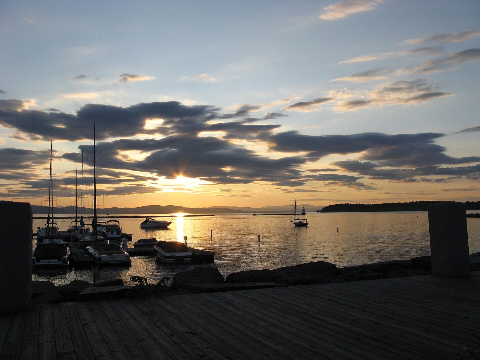
Forecast wind speed is only the beginning. Trace the direction across the chart. The uninterrupted distance over which wind blows—the fetch—helps determine how much sea can build. A harbor protected from a southwest breeze may be exposed when the wind swings northeast. A route that is comfortable in the morning can become an upwind slog home even when the numerical forecast changes only modestly.
Look for funnels. Bluffs, valleys, bridge openings and island gaps can accelerate wind locally. The lee side of an island may provide useful shelter, but the transition around its point can be rougher than the open-water average. When local captains say a particular reach “stands up” in a north wind, that knowledge deserves a place beside the app. Record those observations after each trip; a personal log becomes a remarkably good forecast translator.
Understand waves as a boat-handling problem
Wave height alone does not describe comfort. Closely spaced two-foot waves can be far more punishing to a small planing boat than a gentle ocean swell of greater height. Direction relative to course also changes the ride: head seas pound, following seas can push the stern, and beam seas increase roll. Shallow water, opposing current and wind against tide can make waves steeper.
Published values are forecasts over an area, not a promise at your bow. Significant wave height is a statistical measure; individual waves can be larger. Slow down before conditions force the issue, secure loose equipment and keep people low and supported. If maintaining control requires repeated hard impacts or passengers can no longer move safely, the plan has already exceeded its sensible comfort limit.
The time to shorten a route is when the crew is still comfortable and every safe harbor remains an option.
Thunderstorms demand an exit plan
Summer thunderstorms combine several hazards: lightning, abrupt gust fronts, torrential rain, reduced visibility and rapidly changing waves. Radar is useful, but it does not make a small boat stormproof. Cells can grow between scans, and the fastest route to the dock may cross the worst part of a line. Read the convective outlook and hourly timing before departure, then keep a continuous eye on the sky and alerts.
Identify shelter before casting off. “We can run back if it gets bad” is not a plan unless the distance, boat speed, no-wake zones and docking time have been counted. A marina fuel dock may close, a public ramp may become crowded and an exposed anchorage may be worse than staying underway. If thunder is audible, lightning is already close enough to end the outing. Get ashore or into substantial shelter according to local safety guidance; do not wait under a bimini and debate the next radar frame.
Fog and visibility change navigation workload
Reduced visibility is not simply a reason to drive more slowly. It increases collision risk, makes unlit hazards harder to identify and can overwhelm a crew that has never practiced instrument-assisted navigation. Radar and AIS add information, but neither replaces a proper lookout, sound signals, safe speed or familiarity with collision regulations. Small craft and floating debris may not present a reliable target.
If fog is possible, set up the chartplotter before it arrives, confirm running lights and sound-producing equipment, and keep the route away from unnecessary traffic. Know how to display position, course and nearby hazards without digging through menus. When the crew lacks that skill, the conservative choice is to remain docked. A device is not a substitute for an operator who understands its limitations.
Cold water can make a warm day hazardous
Air temperature creates false confidence in spring and late fall. Cold-water immersion can trigger involuntary gasping and rapid loss of useful movement long before hypothermia becomes the headline concern. Check water temperature, dress for immersion and wear an appropriate life jacket rather than storing it under a seat. Children and weak swimmers need especially careful fit and supervision.
Cold water also changes the rescue calculation. A person-overboard recovery that feels like a drill in August may become immediately urgent in May. Review how the crew will stop, return, make contact and get a wet person over the side of the actual boat. High freeboard, a stern-drive propeller and a boarding ladder that deploys only from aboard are real design constraints.
Use apps as windows into sources, not competing truth machines
Different apps may display different model runs, update times and interpolation. When two forecasts disagree, investigate the source and timestamp instead of averaging the numbers. Favor official warnings and the product written for the operating area. Radar shows recent precipitation movement; it does not display every dangerous gust. Lightning maps can lag. Crowd-sourced wind readings may come from instruments in sheltered or elevated locations.
Download what you need before losing service. Keep VHF weather capability where appropriate, and know which channel carries local information. Take screenshots only as a backup; stale screenshots should never be mistaken for a current warning. The aim is a layered picture: official forecast, radar, observations, local geography and the water in front of the bow.
Build decision points into the route
A weather-conscious itinerary has off-ramps. Mark the last protected harbor before a long crossing, the anchorage that remains safe after a forecast wind shift and the point beyond which returning would take longer than continuing. Tell the crew what would trigger a change: a gust threshold, deteriorating visibility, repeated lightning alerts, a passenger becoming cold or the arrival of a forecast wind shift.
Fuel margin is weather margin. Head seas and detours increase consumption, while a reserve makes it possible to choose the safer harbor rather than the nearest fuel pump. The same applies to daylight. A late start reduces options, especially on unfamiliar water where buoys, crab pots or shoals are difficult to identify at dusk.
Recheck at the launch—and believe what you see
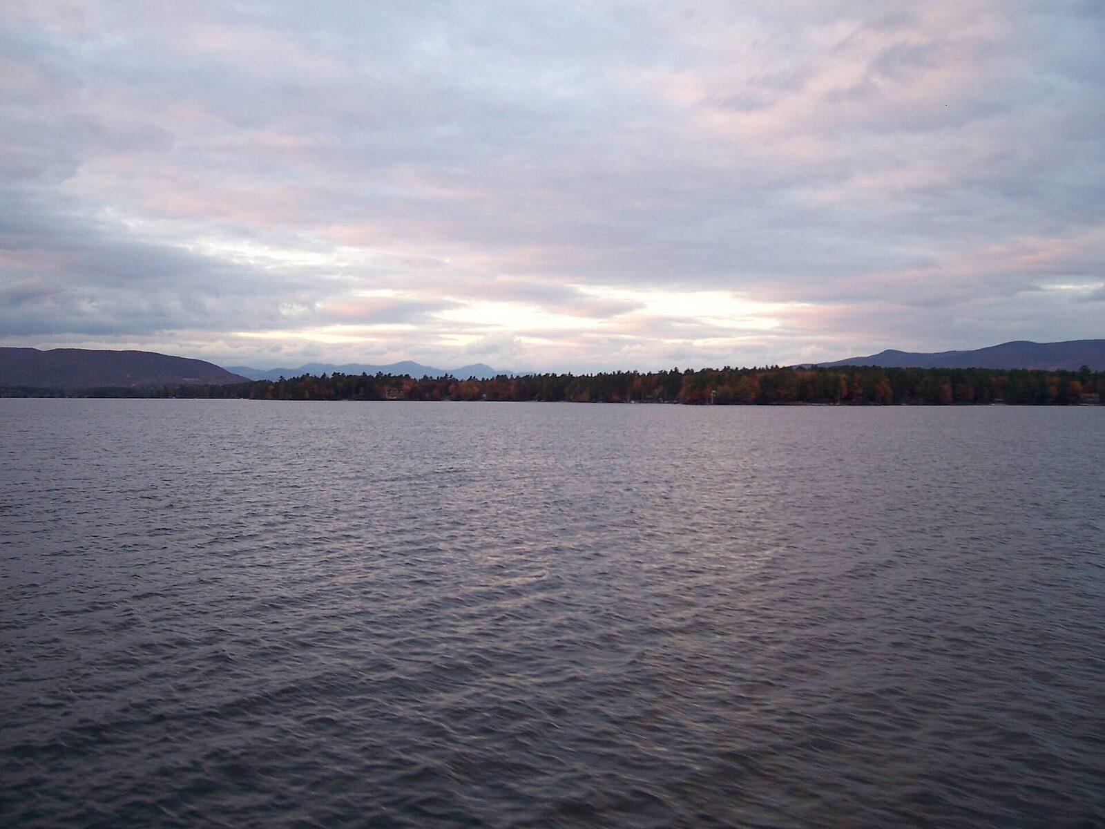
Stand still for a minute at the ramp. Look at flag movement, whitecaps, cloud bases, haze and what returning boats are doing. Compare observed wind with the forecast. A protected launch can conceal the open lake, so seek a view down the main body of water. Ask the harbormaster or marina staff about local conditions, but remember that another captain’s acceptable day may not suit your boat or passengers.
If forecast, sky and water disagree, use the most conservative signal. Delaying an hour can clarify a passing shower; abandoning the outing preserves the option to boat next weekend. Owners often regret being talked into a marginal departure. Few regret drinking coffee ashore while a line of squalls crosses the lake.
A repeatable five-minute briefing
- Read the complete official forecast, warnings and expected timing.
- Trace wind direction over the route and identify exposed reaches.
- Check radar, visibility, water temperature and daylight.
- Name two safe alternatives and the trigger for using them.
- Brief the crew on life jackets, communications and the turnaround plan.
Repeat the check during the day, especially before leaving a protected stop for open water. Weather judgment improves when it is treated as a routine rather than a dramatic decision made only in obvious storms.
Final word: margin is the point
Experienced boating does not mean operating at the edge of what the hull can survive. It means recognizing how quickly a small mechanical issue, sick passenger or missed turn can consume the margin that pleasant weather provided. Choose conditions that leave room for the unexpected.
The best weather day is not necessarily flat calm. A moderate breeze can cool the cockpit and reward good boat handling. The goal is informed consent: know what is expected, know what the boat and crew can handle, and keep a conservative path home. That judgment—not the app with the prettiest map—is the most valuable instrument aboard.
Frequently asked questions
What wind speed is too high for boating?
There is no universal number. Boat size and design, wind direction, fetch, waves, route, operator experience and crew condition all matter. Set a conservative boat-specific limit and lower it for unfamiliar water or vulnerable passengers.
How often should I check weather during a trip?
Check the night before, the morning of departure, at the launch and before any exposed leg. Continue monitoring alerts, the sky and changing water conditions while underway.
Can radar on a phone keep me safe from thunderstorms?
Radar is helpful but can be delayed and cannot show every hazardous gust. Use official warnings, visual observations and a preplanned exit; do not rely on a phone image to thread between cells.
Why can the lake be rough when the marina is calm?
Shoreline protection can shelter a marina while wind builds waves across a long fetch outside. Islands, gaps and headlands can also accelerate or redirect wind.
What should I do if conditions are worse than forecast?
Reduce speed, secure the crew, put on life jackets if they are not already worn and use the safest nearby shelter or return route. Do not press on merely because the original itinerary said to.