Cape Cod punishes the phrase “we’ll just cruise around.” The bay side, south side, outer Cape and canal have different currents, sea states and shelter. A good weekend begins by choosing one harbor and one water body, then letting tide and wind decide the direction. The reward is enormous: fishing fleets, sand beaches, lighthouses and villages that make sense only after arriving from the water.
A coastline built by movement
Glacial deposits formed the Cape, and wind, waves and current continue to reshape it. Indigenous Wampanoag communities used these waters long before European fishing and whaling expanded. Harbors such as Provincetown and Hyannis developed distinct working identities, while the Cape Cod Canal—opened in the early twentieth century and later improved by the federal government—changed coastal navigation by avoiding the long trip around the outer Cape.
That moving history matters at the helm. Shoals migrate, inlets change and yesterday’s local shortcut is not a promise. Official charts, Coast Guard notices and harbor-specific information outrank a casual recollection from a previous vacation.
Choose one Cape, not all of it
Hyannis and the south side offer ferries, services and access toward Nantucket Sound, but shoals and busy traffic require attention. Cape Cod Bay supports routes among Barnstable, Sesuit, Wellfleet and Provincetown with exposure that increases quickly outside harbor. Provincetown is a memorable destination with a substantial harbor at the tip. The outer Cape faces Atlantic conditions and is not a casual extension of a bay cruise.
Pick the base by the boat and forecast. A shallow-draft center console, cruising sailboat and small bowrider should not share the same default itinerary. Reserve a slip or mooring before lodging when the boat is central to the trip.
Approaches, charts and harbor calls
Study the harbor approach before departure, including buoys, breakwaters, controlling depths, tide and any local VHF procedure. Ferry routes near Hyannis and Provincetown deserve a wide, predictable berth. Fishing vessels may maneuver around gear rather than follow a recreational boat’s expected line.
Rig lines and fenders before the entrance. On a first visit, arrive in daylight and outside the most compressed tide or traffic window. Contact the harbormaster or marina early, state the vessel name, length and request clearly, then listen. Barnstable and other Cape towns publish local harbor information; use it rather than assuming every harbor follows one regional rulebook.
The Cape Cod Canal
The canal is a controlled federal waterway with strong current, commercial traffic and specific operating rules. Transit timing should account for current direction and speed, vessel capability, bridge clearances and the next safe harbor. A small boat fighting peak current will lose speed and maneuverability exactly where predictability matters.
Monitor traffic, maintain a proper lookout and stay out of the way of vessels constrained by the channel. Do not treat the shoreline path or familiar bridges as evidence that the water is benign. The canal is a route, not an anchorage or sightseeing drift. Review U.S. Army Corps of Engineers guidance and current notices before passage.
Marinas, moorings and fuel
Major Cape harbors offer combinations of marina slips, municipal moorings, launch service, fuel and pumpout. Supply is tight in summer and many facilities are seasonal. Confirm reservation status, approach depth, shore power, launch hours and whether a late arrival is possible. A mooring without a working shore plan can strand a family ten minutes from a hotel room they can see.
Fuel before the exposed leg. A route around shoals or against current is longer than the map’s straight line. Cape fuel prices reflect waterfront logistics; budget for them. Carry filters and basic spares appropriate to the boat, because saltwater finds electrical weakness and a weekend repair cannot be assumed.
Anchorages and beaches
Provincetown Harbor and protected reaches behind Cape shorelines can offer anchoring opportunities, while shallow-draft boats may enjoy sand-spit or beach access where legal. Every anchorage depends on wind, swell, tide, bottom and local regulation. Use current chart information and ask the harbormaster when uncertain.
Set the hook with enough scope and room for tidal swing, then verify holding as current changes. Do not anchor in channels or close to mooring fields. On a beach landing, account for falling tide before leaving the boat. A vessel floated onto a sandbar at lunch may be several hours from floating at departure.
Weather, fog and the sea-breeze trap
Fog can reduce a familiar coastline to instruments and sound. Sea breeze may build during an otherwise clear afternoon, while offshore swell enters exposed approaches even when local wind is light. Check the marine forecast for the exact zone, tide and radar; a general Cape Cod forecast is written for people on land.
Keep navigation lights, horn, VHF and radar reflector or radar system ready as appropriate. Slow to a safe speed in restricted visibility and post a real lookout. If the route requires learning fog navigation during the trip, wait for visibility. The dock will still be there when the shoreline returns.
Shoals, rips and other hazards
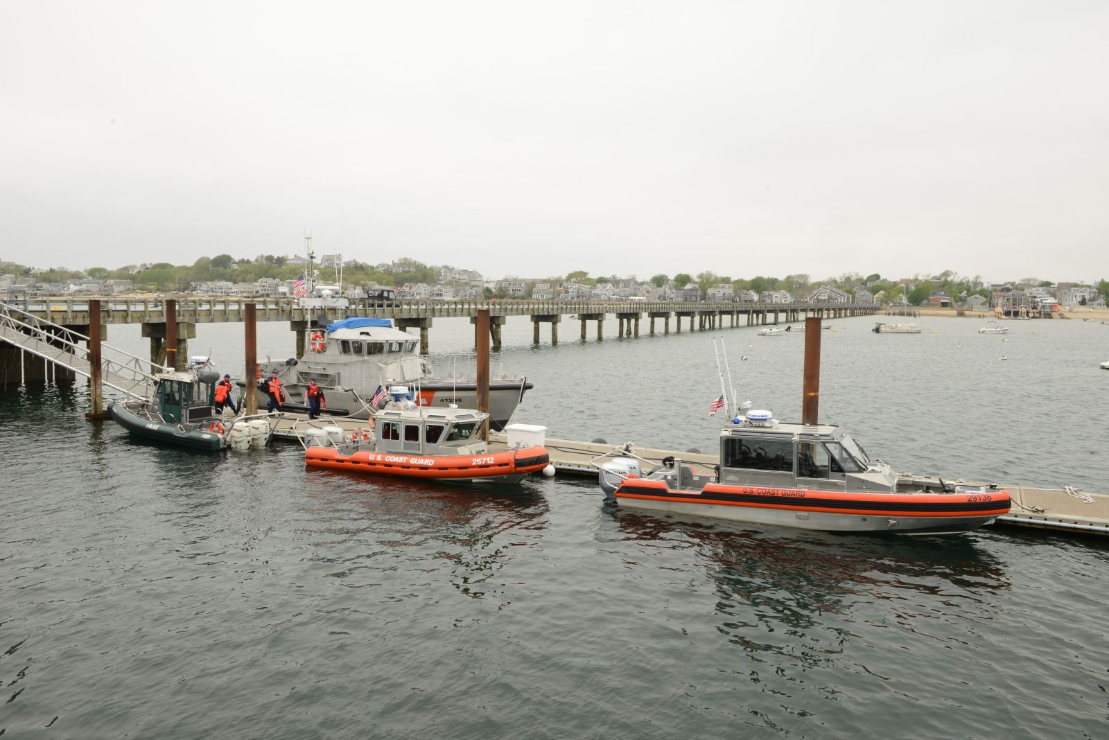
Nantucket Sound, Monomoy, the outer Cape and inlet approaches contain shoals and moving water that deserve current charts and local information. Waves steepen when wind opposes current, creating conditions out of proportion to the forecast wind number. Fishing gear, pot buoys and small craft add visual clutter.
Never cut inside a buoy because another boat did. That vessel may draw less water or carry knowledge you do not. Maintain propeller awareness near swimmers and beaches, and reduce wake in harbor before signs become the only reason. At night, background lighting and unlit gear make a first-time route much harder.
Restaurants and shore life
Sesuit Harbor Cafe is a familiar casual stop near Dennis, Baxter’s provides a Hyannis Harbor setting, and Provincetown offers everything from quick seafood to full dinners within walking distance of the waterfront. Dock access is not automatic at a restaurant; secure legal space first and verify current hours.
The Cape’s strongest meals are often simplest: local seafood, something cold and a table where wet shoes are not a crisis. Keep lunch aboard for route flexibility. A ferry delay or full dock should not turn the captain into a rushed operator.
Family days, wildlife and hidden places
Beaches, the Cape Cod National Seashore, museums and harbor cruises provide strong alternatives when the family boat stays tied. Whale watching is best left to licensed operators who know offshore waters and wildlife approach practices. Seals are common in some areas; observe from a respectful distance and remember that their presence can coincide with larger predators.
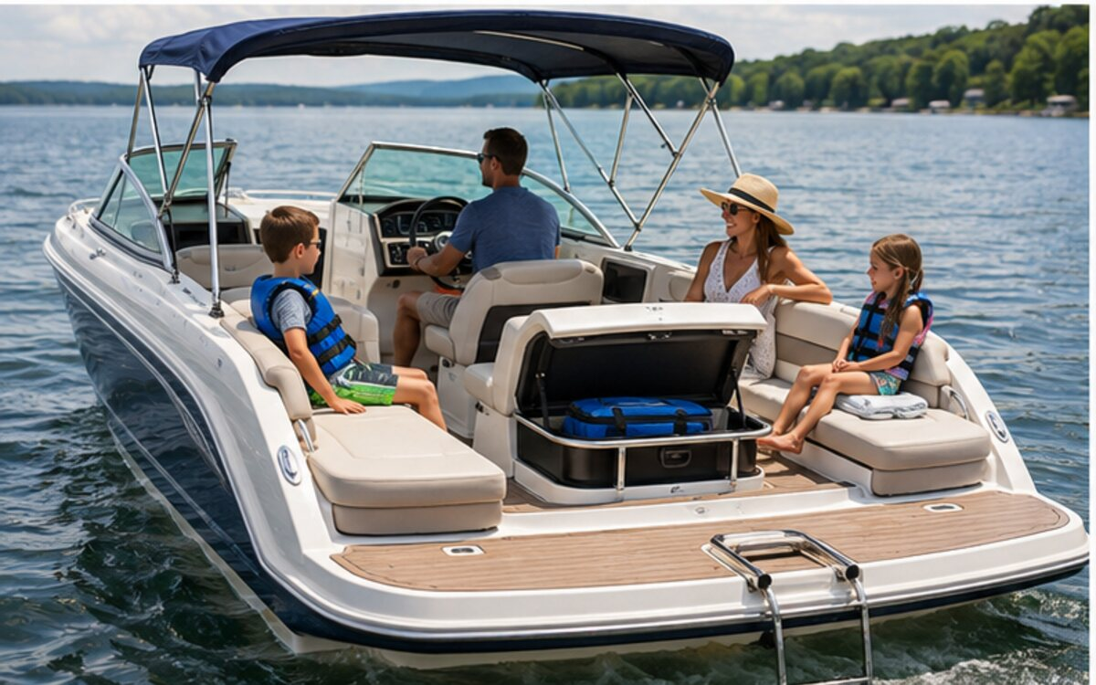
Hidden gems are often working scenes: a fishing boat unloading, a quiet sunrise inside a harbor or a lighthouse framed beyond a sand spit. Photograph from a position that does not obstruct traffic. Children need fitted life jackets, sun protection and warm layers; coastal wind can make a bright day surprisingly cold.
Best months and trip costs
Late June through September is the primary window. July and August deliver full schedules, warmest weather and maximum demand. September can be excellent but tropical systems, shorter service hours and cool nights require flexibility. Spring water remains cold; fall fronts can end a comfortable period abruptly.
Budget for a premium slip or mooring, launch service, fuel, pumpout, meals and ground transportation. Cape lodging and marina costs peak together. A secure berth that allows walking may be more valuable than a cheaper remote slip plus rides. Keep at least one uncommitted night if an exposed onward route depends on weather.
A two-day first visit
Day one: Arrive at a protected harbor before midday, secure the boat and spend the afternoon on a short local cruise or beach stop. Learn the approach, tide and launch system before dinner ashore.
Day two: Make one destination run—Provincetown from an appropriate bay-side base, a sound-side village from Hyannis, or a canal transit only if current and onward harbor are favorable. Return before afternoon conditions peak. If fog persists, use a commercial ferry or shore day rather than turning the family boat into an instrument-training platform.
Don’t miss—and the rules that make the weekend feel easy
Don’t miss: a harbor sunrise, one lighthouse from the water, a simple seafood meal and the transition between canal, bay or sound. The contrasts explain the Cape better than a long mileage total.
Insider habits: select the water body first; call the harbormaster; time current; rig before the entrance; carry lunch; and never let a dinner reservation overrule fog. Cape Cod rewards the captain who makes fewer, better legs.
Frequently asked questions
Can a small boat transit the Cape Cod Canal?
Many small powerboats can transit in suitable conditions, but current, commercial traffic, minimum maneuverability and the next safe harbor must be considered. Review current U.S. Army Corps guidance before departure.
Where should a first-time Cape Cod boater stay?
Choose a protected harbor matched to the forecast and desired water body. Hyannis, Barnstable-area harbors and Provincetown serve different routes; confirmed dockage is more important than covering the entire Cape.
Why is fog such a serious Cape Cod boating issue?
Fog removes visual references while ferries, fishing vessels, shoals and gear remain. Use proper equipment and procedures, or wait for visibility if the crew is not trained for restricted conditions.